
©© Weinviertel Tourismus/Michael Reidinger ©© Weinviertel Tourismus/Markus Frühmann
WTG_Michael Reidinger (2).jpg")
WTG_Fruehmann (15).jpg")
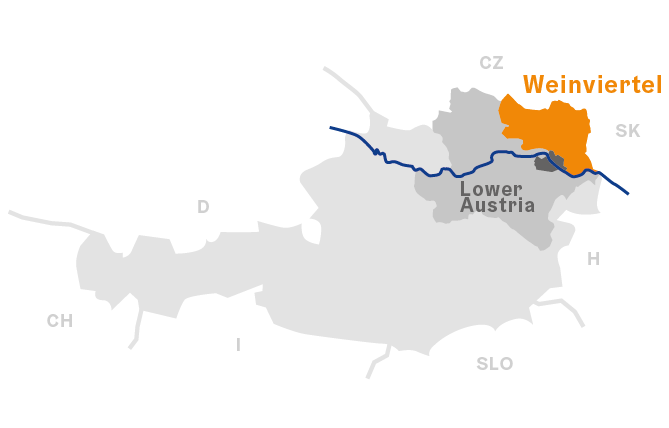
Weinviertel
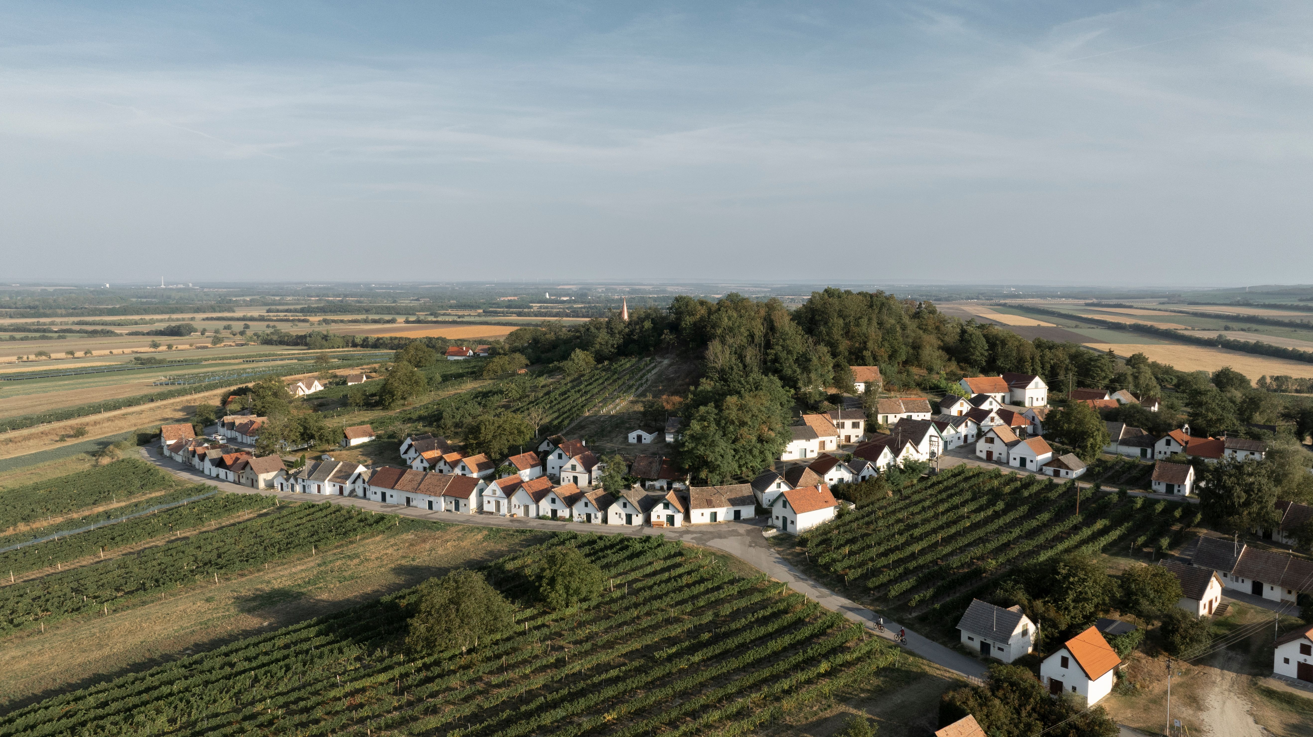
Visitors to the Weinviertel region of Lower Austria are sure to come into contact with wine soon after they arrive. With around 14,000 hectares of vineyards, the Weinviertel is Austria’s largest winegrowing area. The gently rolling hills of this area just to the north of the nation’s capital, Vienna, are blanketed with vines, and punctuated with by picture-postcard lanes lined with wine cellars. The unrelenting pace of modern life is no match for the peace and quiet of the Weinviertel. In this corner of Austria, a deeply rooted devotion to finding time to enjoy the finer things in life comes first – which goes perfectly with its proud culinary tradition. To this day, life in this extensive winegrowing region plays out in step with the changing of the seasons. Leisurely enjoyment is the order of the day: crowds and hustle and bustle seem to be a million miles away. The Weinviertel is full of unexpected surprises, and anyone who takes the time to discover them will find themselves surrounded by hidden treasures.
This region in the north-east of Austria is located between Vienna, the Slovak capital Bratislava, and the Czech towns of Brno and Znojmo. A bastion of fine cuisine and excellent wine, it is criss-crossed by an extensive network of cycle paths.


WTG_Michael Reidinger (65).jpg")
WTG_Fruehmann (10).jpg")
WTG_Michael Reidinger (14).jpg")


