
Stempfelbach Bicycle Route
Use our AI guide
Do you have any questions about your stay?

Cycling tour Starting from Markgrafneusiedl
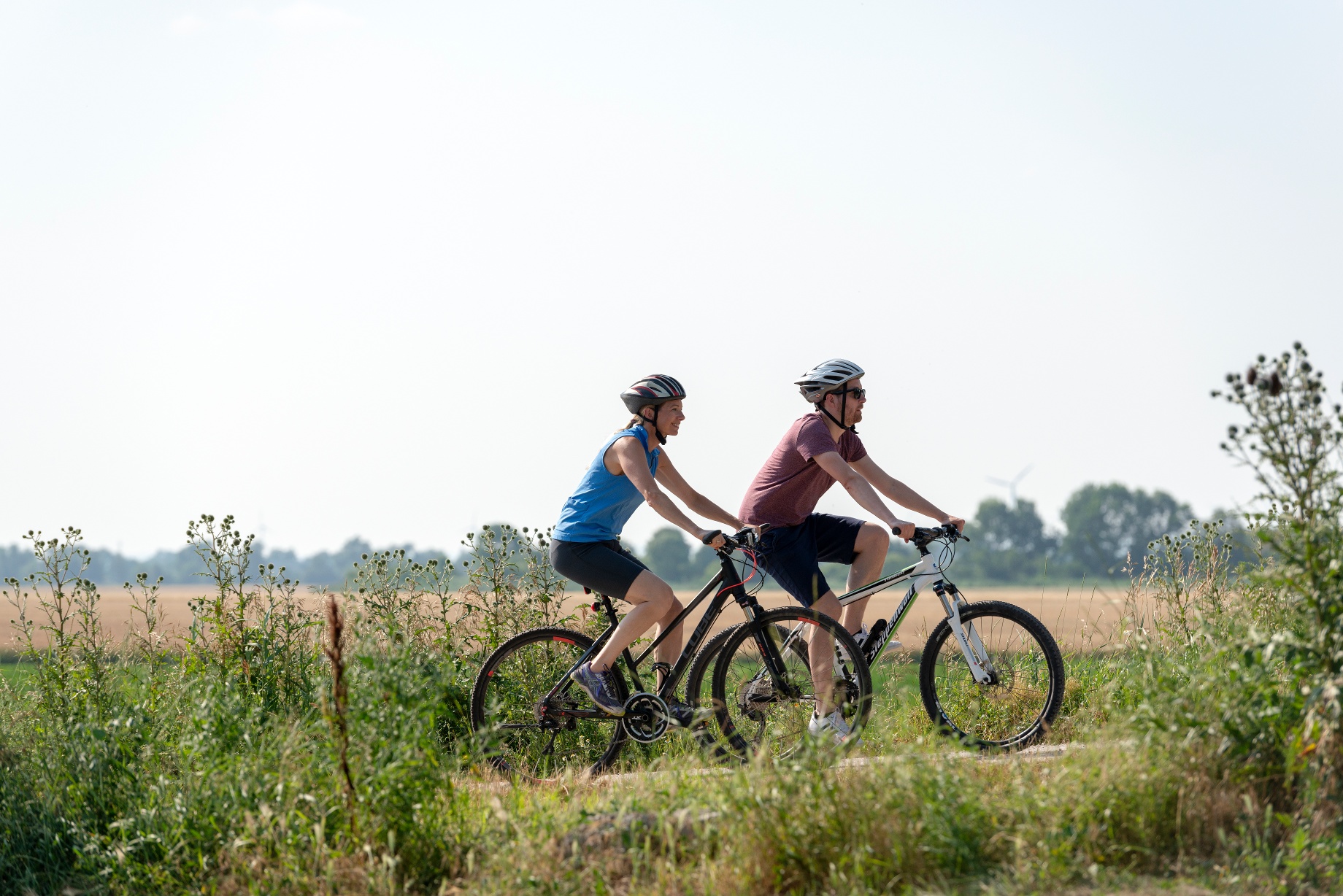
This beautiful bike route runs along the Stempfelbach stream and connects the five municipalities of Markgrafneusiedl, Untersiebenbrunn, Obersiebenbrunn, Lassee, and Groißenbrunn.
This beautiful bike route runs along the Stempfelbach stream and connects the five municipalities of Markgrafneusiedl, Untersiebenbrunn, Obersiebenbrunn, Lassee, and Groißenbrunn.
The route runs along the Stempfelbach through the Marchfeld and is considered a scenic alternative to the Marchfeld Canal Bike Route.
Be sure to bring enough drinks with you; the inns in the Weinviertel aren't open every day. The bike route ends at Schloss Hof, and from there you can easily cycle into Slovakia via the Bridge of Freedom. So please don't forget your passport.
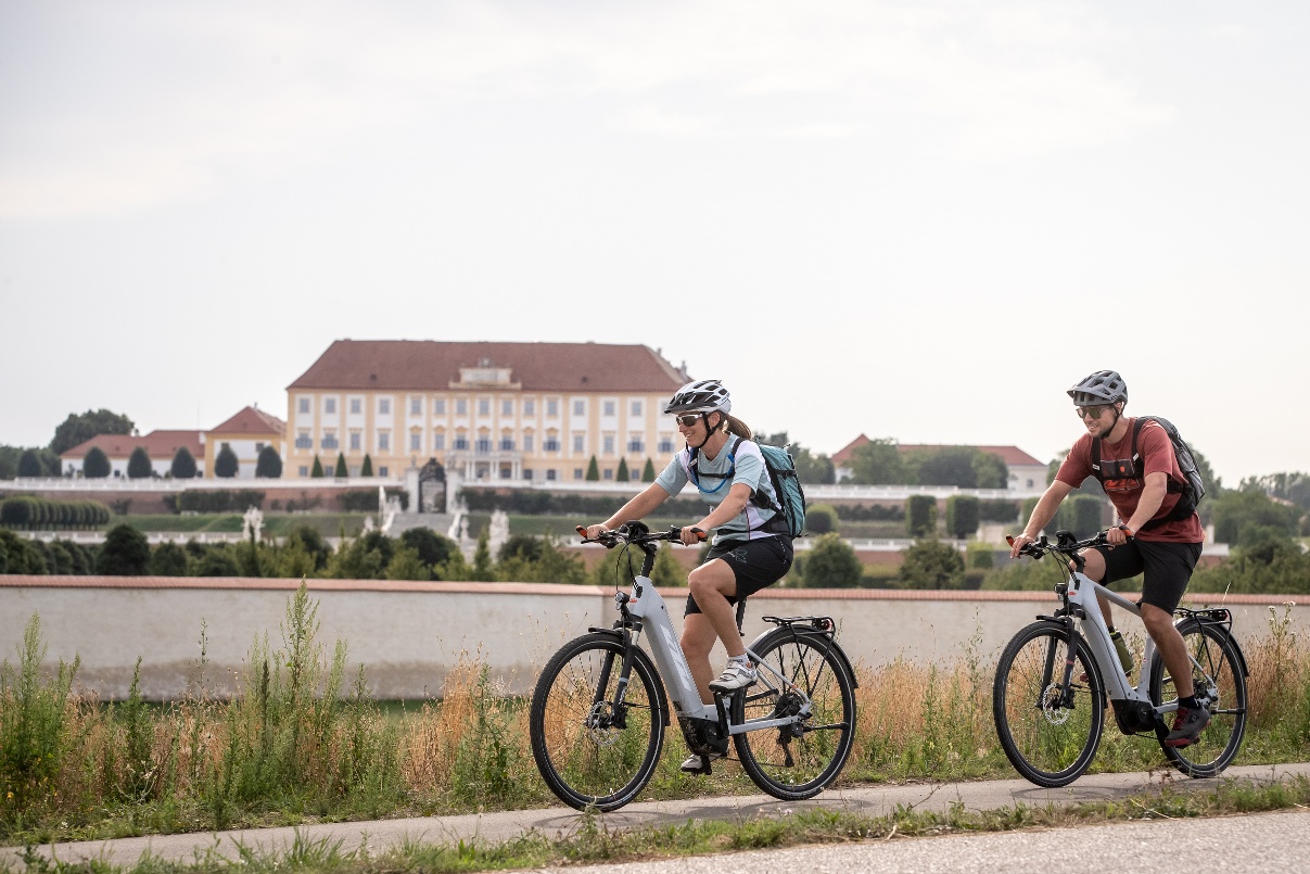
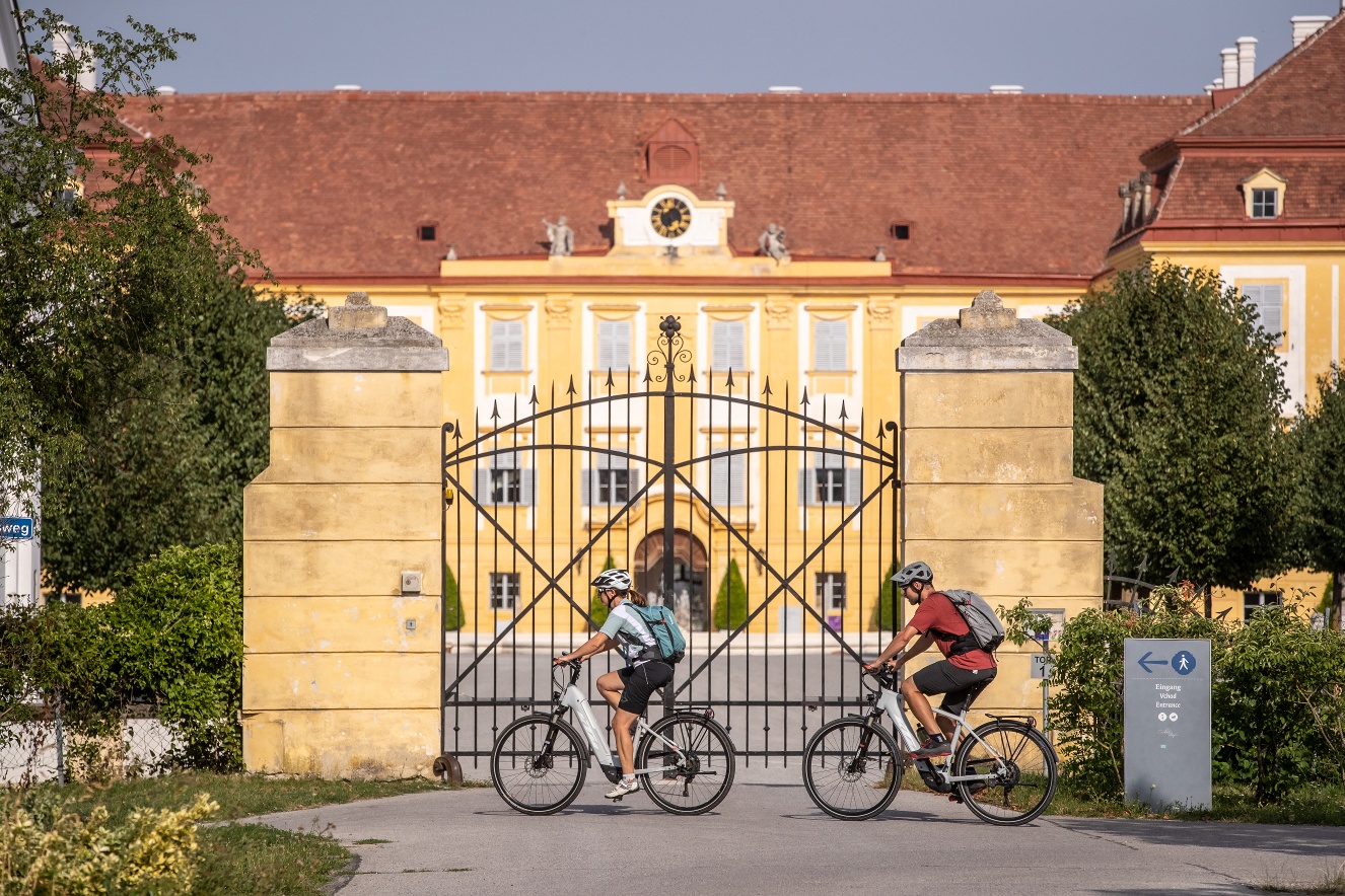
The starting point of this approximately 30-kilometer-long bike route is Markgrafneusiedl, a town steeped in history with the impressive Markgrafneusiedl ruins as its landmark. Before you set off, we recommend not only visiting the ruins but also taking a short detour to nearby Glinzendorf, home to the well-known ADAMAH BioHof . Then it’s time to get pedaling! The route begins at the starting point in Markgrafneusiedl: Cycling along the Stempfelbach stream—which gives this bike route its name—you’ll head to Obersiebenbrunn, where a brief stop at the Baroque castle of the same name is well worth it. The route continues to Untersiebenbrunn; along the way, we recommend taking a break at Marchfelder Storchenbräu. This small, charming private brewery in the heart of the Marchfeld produces beers, lemonades, and other beverages using regional ingredients. Through the vast expanse of the Marchfeld, the route takes you to Lassee and Groißenbrunn. From there, it continues to Schloßhof, the endpoint of the bike route. Here, in addition to the chance to enjoy a culinary treat at the Gasthof Prinz Eugen, the magnificent Schloss Hof offers a fascinating world of Baroque splendor. Immerse yourself in the beauty of Prince Eugen’s country estate! You shouldn’t miss the unique Baroque gardens or the idyllic estate with its diverse flora and fauna.
The starting point of the bike route is at the junction of the Marchfeld Canal Bike Path and the Stempfelbach Bike Route. It’s best to park in the center of Markgrafneusiedl.
Markgrafneusiedl is easily accessible by car via the "L6" state highway.
You can travel to Deutsch-Wagram by train and return from Marchegg.
Experience Nature at the STEMPFELBACH
Pure local recreation. The Marchfeld Canal Bike Path leads from the city of Vienna through Austria’s “vegetable garden” all the way to Schloss Hof. The entire bike route runs idyllically along the Marchfeld Canal, the Russbach, and the Stempfelbach. The Marchfeld Canal system, built between 1986 and 2004, is a network of waterways approximately 100 kilometers long, consisting of the Marchfeld Canal itself, the Russbach, the Siebenbrunner Canal, and the Stempfelbach. It forms the basis for the sustainable security of the water supply in the Marchfeld region: Water from the Danube is diverted to the Marchfeld region, where it is used for irrigation, groundwater management, and improving the discharge capacity of local waterways.
Leider können wir Ihnen zum jetzigen Zeitpunkt keine Wetterdaten für den Ort anzeigen.
In the Weinviertel region, there are over 100 “Radpartner” establishments that cater specifically to the needs of cyclists. You can find a list of all these businesses on our “Cycling Partners” page. Using the filter function, you can easily view the businesses along your desired cycling route. Additional filters allow you to search for suitable lodging or dining options.
Letzte Änderung: 4 Aug 2026