Rosstalenweg
Use our AI guide
Do you have any questions about your stay?

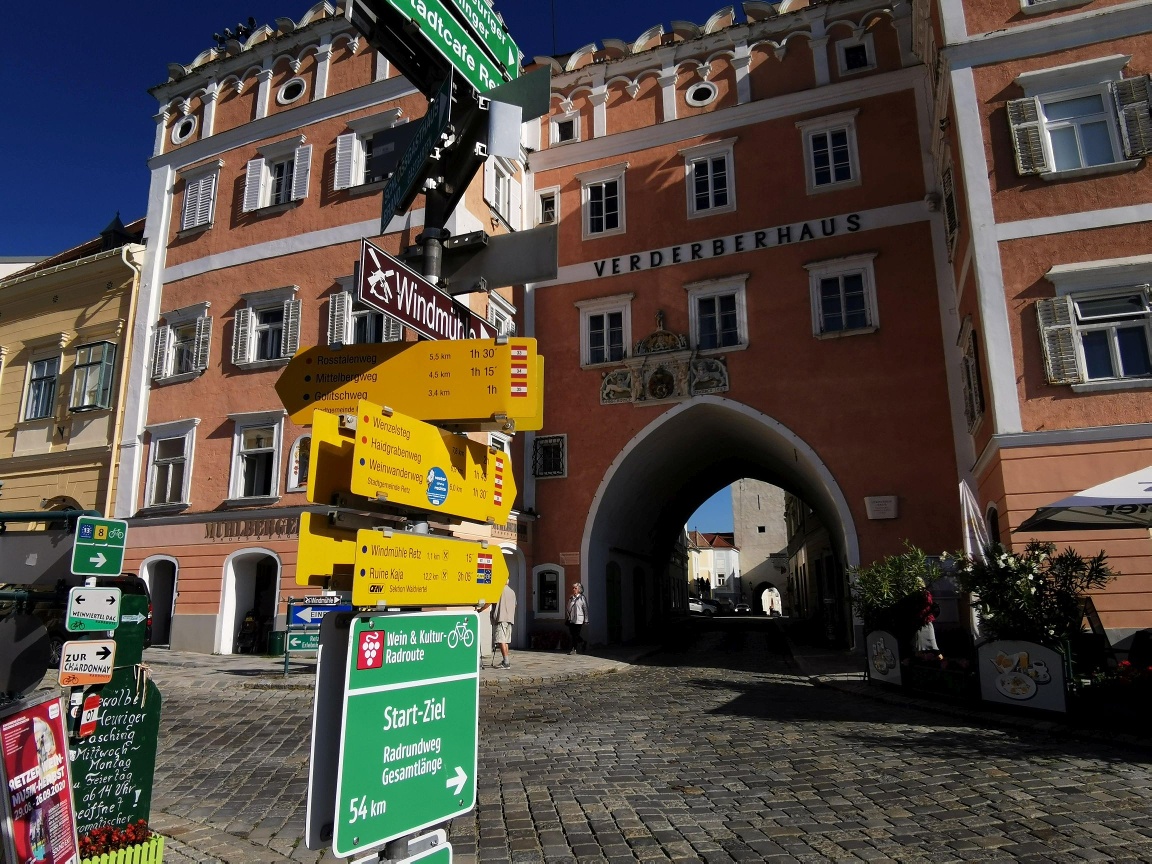
Hiking tour Starting from Retz, Main Square
Start / Finish: Retz
Start / Finish: Retz
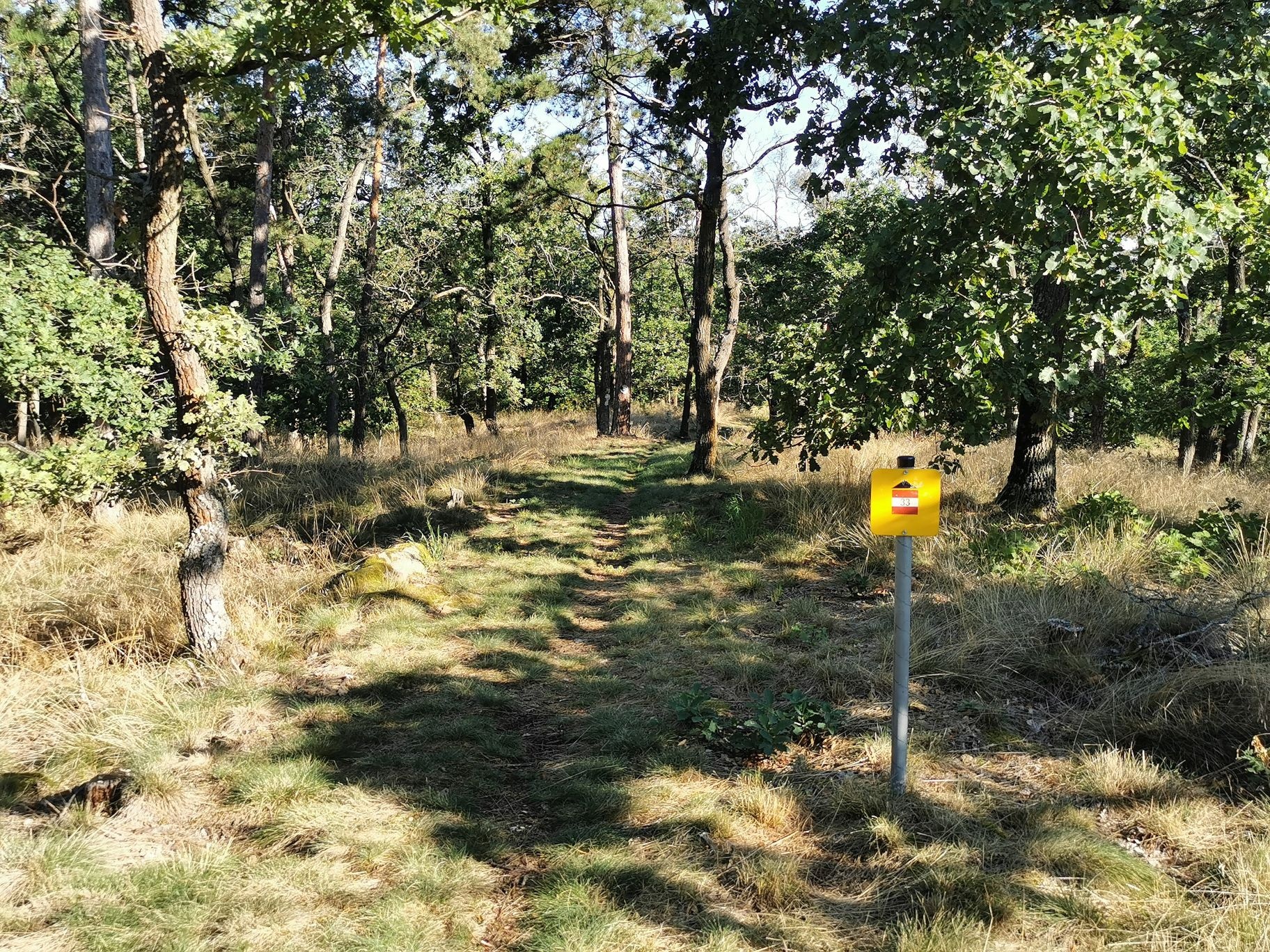
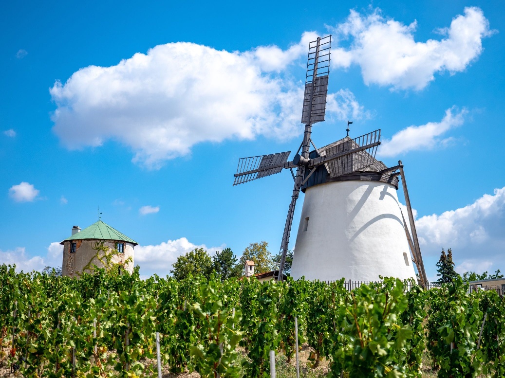
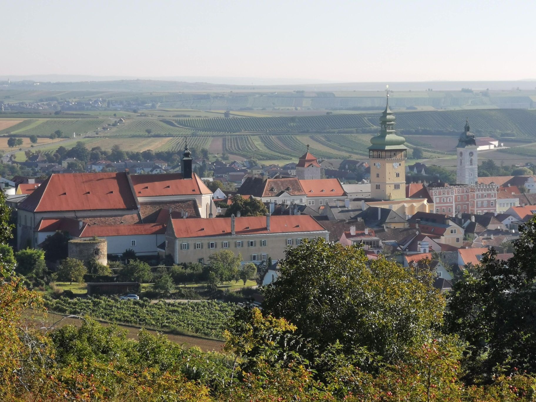
From the main square—the town fountain—walk toward the pharmacy into Burggasse and pass through the Althof hotel complex over a wooden bridge to Klosterbrückerlweg, which turns right into Windmühlgasse. At the end of this street, the footpath to the windmill branches off to the right. As you pass the windmill, you’ll see Kalvarienberg and the Soldiers’ Cemetery on your right. Continue uphill until you reach the edge of the mixed pine forest, then turn right at “Parapluieberg.” Following the Rosstalen field, you’ll reach Fladnitzerweg. Continue hiking uphill to the right through the forest near the “Sieben Bründeln,” turn left toward “Bischofsmütze,” pass the “Schwedenkreuz,” and reach Windmühlgasse, where you can stop for a bite to eat at Donn’s Keller before heading back into town.
Vienna: A 22 – Stockerau – S 3 to Hollabrunn – B 303 to Guntersdorf – B 30 to Retz
Linz: A 7 toward Freistadt – B 310 to Freistadt – B 38 via Zwettl to Rastenfeld – turn left here toward Horn – B 45 to Pulkau – B 35 to Retz
Attractions:
Retzer Erlebniskeller
Town Hall Tower
Town Hall Chapel
Windmill
Bicycle Museum
Retz Museum and South Moravian Gallery
Leider können wir Ihnen zum jetzigen Zeitpunkt keine Wetterdaten für den Ort anzeigen.
Retzer Land Regional Marketing
Hauptplatz 30, 2070 Retz
+43 2942 2223-34 / +43 664 1546544
Letzte Änderung: 3 Aug 2026