OMV Energy Cycle Route
Use our AI guide
Do you have any questions about your stay?

Cycling tour Starting from Wolkersdorf, Wolkersdorf Castle, corner of Schlossplatz and Hofgartenstraße; alternative: Gänserdorf Train Station
The loop route, starting in Wolkersdorf, passes through the municipalities of Pillichsdorf, Großengersdorf, Bockfließ, Auersthal, Matzen-Raggendorf, Prottes, Schönkirchen-Reyersdorf, and Gänserndorf.
The loop route, starting in Wolkersdorf, passes through the municipalities of Pillichsdorf, Großengersdorf, Bockfließ, Auersthal, Matzen-Raggendorf, Prottes, Schönkirchen-Reyersdorf, and Gänserndorf.
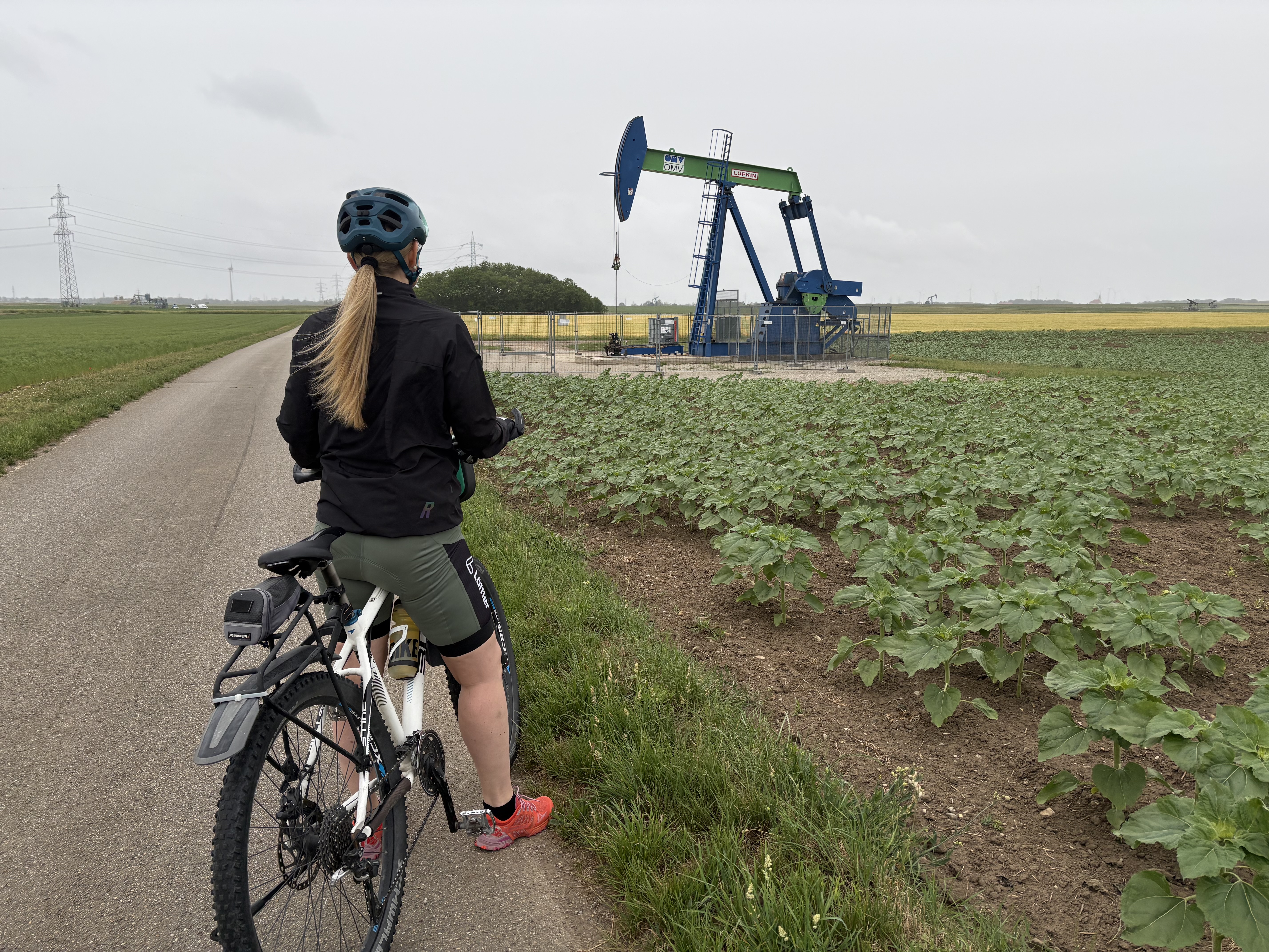
Cycle between black and white gold in the unique landscape of the Matzner Feld. Past drilling rigs with a view of gigantic wind turbines, through vineyards and learn interesting facts about the "energy-rich" history of the region.
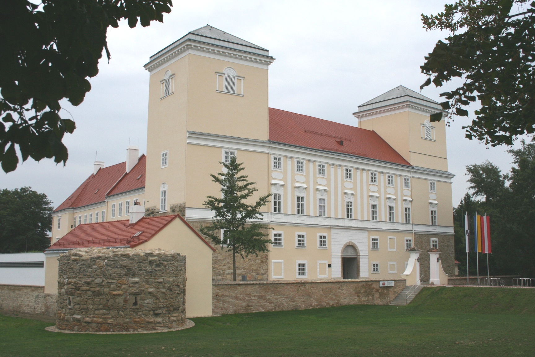
The OMV Energy Bike Route begins in Wolkersdorf in the Weinviertel region, in front of Wolkersdorf Castle, a stately four-towered fortress. The route first heads north along the Hochleithen Forest through hilly terrain to the “Franzosensprung.”
Along the OMV Adventure Bike Trail, 11 information panels await you, offering insights into the secrets of “black gold.” For example, you can learn how crude oil and natural gas are formed.
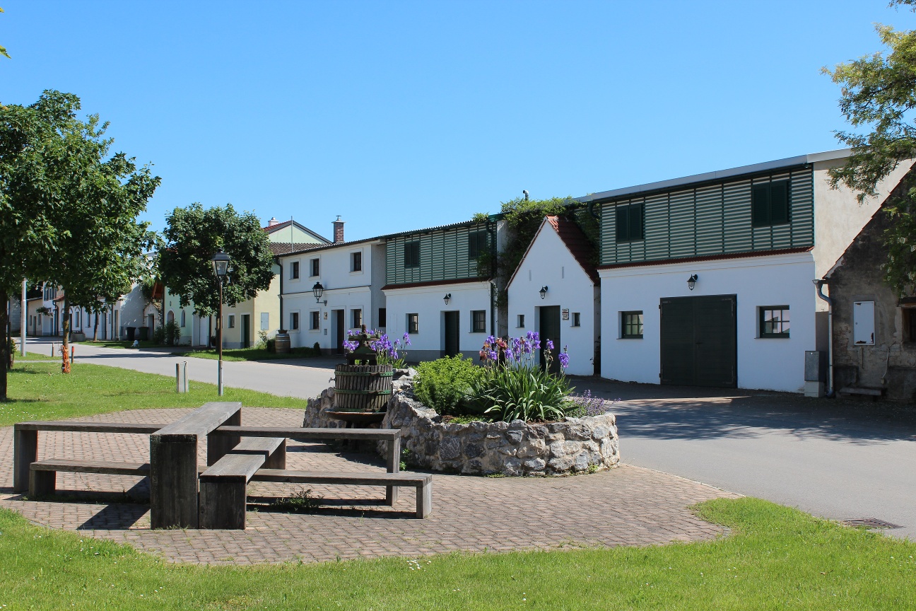
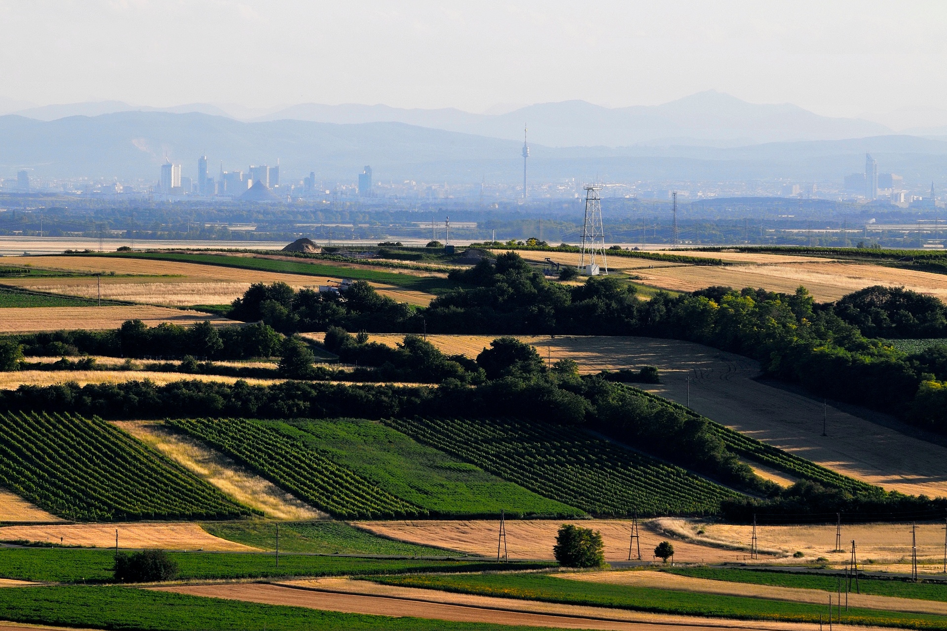
The tour continues to Auersthal, where the “Wunderberg” wine cellar lane, with around 100 wine cellars and wine presses, invites you to linger. Passing through Raggendorf, with its cozy village square, and a slightly steeper section of the trail, you’ll reach Matzen. From the Karpatenblick lookout point, you’ll enjoy a stunning panoramic view of the Carpathians, Vienna, and—on a clear day—even the Schneeberg. On the way to Prottes, you’ll pass by Central Europe’s largest oil field. In Prottes, the Oil and Natural Gas Educational Trail and the Oil and Natural Gas Museum provide an overview of their extraction.
Afterward, continue cycling to Schönkirchen-Reyersdorf, where you can take a refreshing break at the outdoor pool. Then head on to Gänserndorf, where you can visit the OMV Innovation & Technology Center to learn even more about the history and technology of oil production in the Weinviertel region.
Then the route continues to Bockfließ and Groß-Engersdorf, where you’ll have the opportunity to visit the Museum of Village Culture and the wine cellar lane. The wine cellar lane in Pillichsdorf—one of the largest contiguous wine cellar lanes in Europe—is also worth a visit. Before heading back to the starting point, you can take one last break while enjoying the view of the impressive wind turbine.
Parking is available right next to Wolkersdorf Castle.
Wolkersdorf can be reached by car directly via the A5 highway. (Take the Wolkersdorf Süd or Wolkersdorf Nord exit.)
If you're coming from Vienna, Mistelbach, or Laa/Thaya, you can reach Wolkersdorf by taking the Schnellbahn (S2).
Trains depart from Vienna Praterstern every 10 to 20 minutes.
Alternatively, you can also join the route from the train station in Gänserdorf
Leider können wir Ihnen zum jetzigen Zeitpunkt keine Wetterdaten für den Ort anzeigen.
In the Weinviertel region, there are over 100 “Radpartner” establishments that cater specifically to the needs of cyclists. You can find a list of all these businesses on our “Cycling Partners” page. Using the filter function, you can easily view the businesses along your desired cycling route. Additional filters allow you to search for suitable lodging or dining options.
Letzte Änderung: 3 Aug 2026