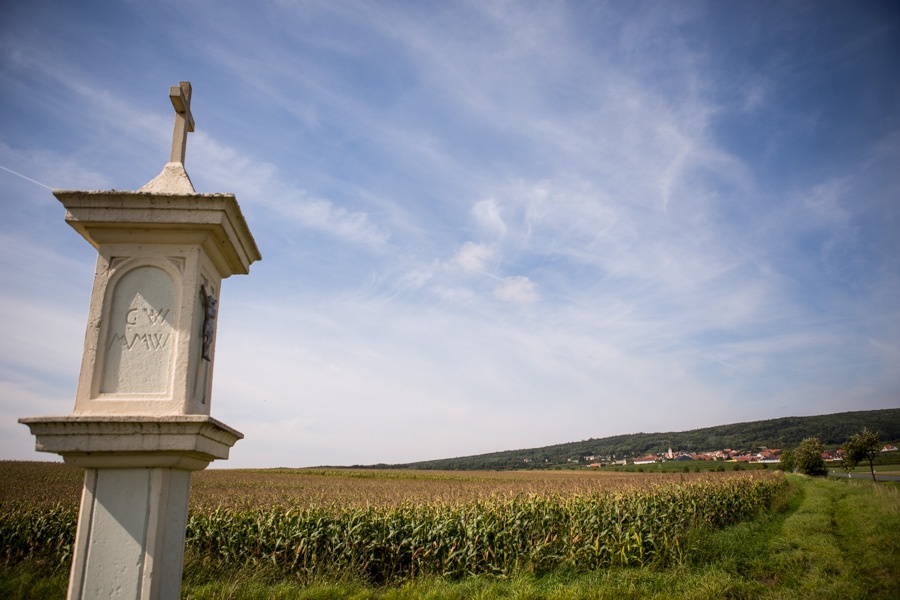
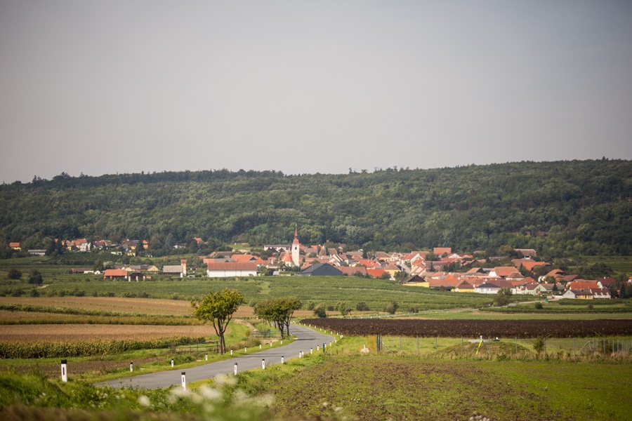
Waitzendorf Wayside Shrine Trail

Hiking tour Starting from Waitzendorf, Church Square
Start / Finish: Waitzendorf
Start / Finish: Waitzendorf
The trail leads to a number of historic and historically significant shrines and memorials along paved paths and forest trails
The entire hiking trail (marked in white and purple) is 14.2 km long and is divided into three stages.
Stage I
, 5.5 km, easy, begins at the church and ends at the “Alte Linde.”
Stage II
, 4.3 km, easy to moderate, continues on to the “Friedenskreuz.”
Stage III
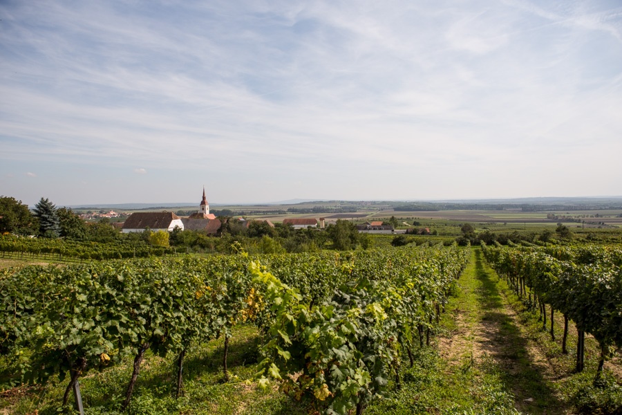
, 4.4 km, easy, runs through vineyards and fields from the “Johannesbrunnen” to the “Brandlkreuz.”
Waitzendorf
Bus to Pulkau
You can refill your water supply at Kirchenplatz or at the Johannesbrunnen! Enjoy the peace and quiet of the forest, and please be considerate of its inhabitants!
Leider können wir Ihnen zum jetzigen Zeitpunkt keine Wetterdaten für den Ort anzeigen.
You can find detailed information about the hiking trail and the wayside shrines along the route here.
Letzte Änderung: 3 Aug 2026