
Engerlweg
Use our AI guide
Do you have any questions about your stay?

Hiking tour Starting from Krahuletz Museum in Eggenburg
Start / Finish: Eggenburg
Start / Finish: Eggenburg
The route leads from Eggenburg to the small village of Engelsdorf and back again.
Pack your cell phone and maps in your backpack—and don't forget your NÖ-Card if you have one!
Functional Clothing
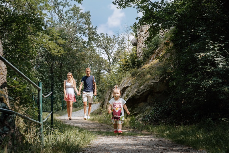
The route runs from Eggenburg to the small village of Engelsdorf and back again. It starts at the Krahuletz Museum. You leave Eggenburg heading northwest on Dr. Eduard Krannerstraße and follow the farm road toward Engelsdorf. The route continues for a short distance along the Engelsdorfer Bach and then through the village. At the end of the village, the route heads south and finally returns to Eggenburg via the “Wanderweg Meiseldorfer Teich” trail.
Free public parking lot at the Eggenburg City Hall; access via Kühnringerstraße or Leinwandbleiche.
Eggenburg Main Square—short-term parking zone.
From Vienna, take the A22 to Stockerau, then the B4 toward Horn to Maissau; take the turnoff to Eggenburg on the B35 for another 8 km.
Or from Stockerau, take the B303 to Hollabrunn and continue on the B2 via Schöngrabern to Eggenburg.
Coming from the Westautobahn (A1), take the St. Pölten Ost exit and follow the S33 toward Krems to Gedersdorf; continue on the B35 through Straß and Mühlbach to the B4, then turn left toward Horn to Maissau, then take the turnoff for Eggenburg on the B35 to Eggenburg.
From the Czech Republic, take Route 413 via Hnanice/Mitterretzbach, then continue on the B35 via Retz to Eggenburg
Franz-Josephs-Bahn: From Vienna's Franz-Josefs Station to Eggenburg. You can plan your exact route using the VOR route planner: https://anachb.vor.at/
Must-see:
Eggenburg Tourist Information
Krahuletzplatz 1
3730 Eggenburg
T: +43 2984 3400
tourismusinfo@eggenburg.attourismusinfo@eggenburg.at
http://www.eggenburg.atwww.eggenburg.at
www.facebook.com/eggenburg
www.instagram.com/mittelalterstadt_eggenburg/
Letzte Änderung: 3 Aug 2026